We were greeted right at the trailhead by
evidence of the fire. Notice the wires in the ditch . They are
temporary phone lines as the fire damaged all the lines and poles in
this area.
|
 |
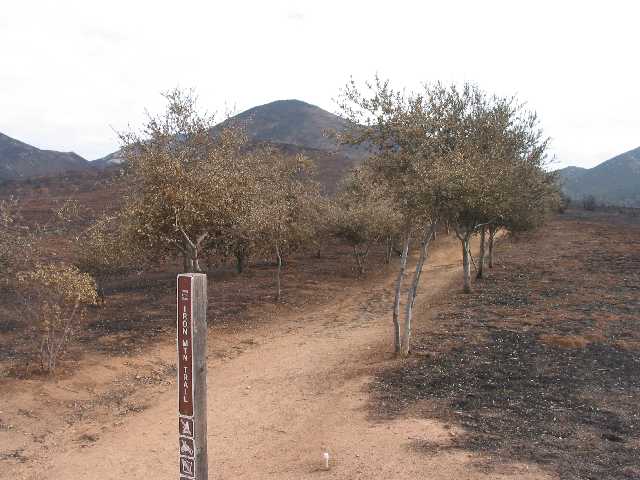
These trees were planted 10 years ago after
Iron Mountain burned. They are most likely dead.
|
 |
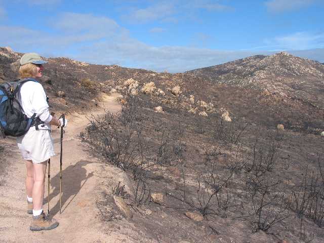
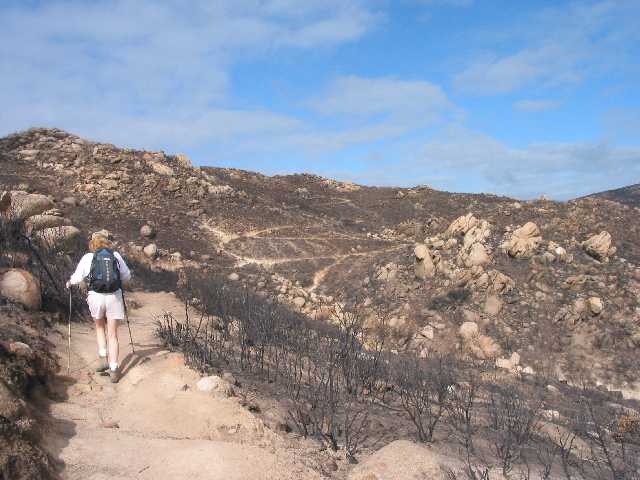
Here is Sally looking at the damage.
|
 |
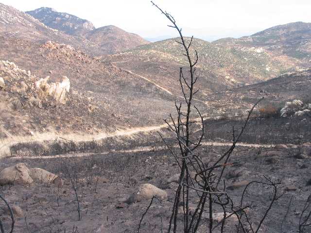
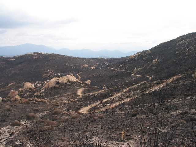
When you look at these photos, you have to
remember that this whole mountain burned just 10 years ago. Enough had
grown back to support another burn off. You can see a few knolls in the
distance that did not burn.
|
 |
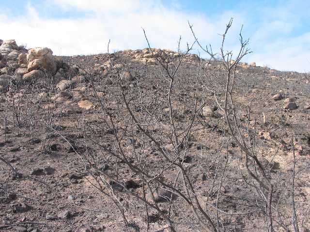
The devastation is complete.
|
 |
The peak of Iron Mountain is at the left,
about 2500 feet.
|
 |
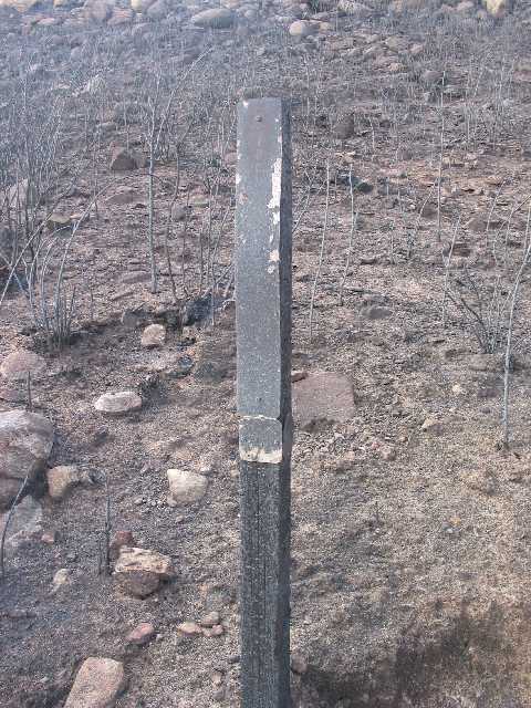
This used to be the 2.5 mile marker. A lot of
the 6" logs used across the trail for erosion control were completely
burned away.
|
 |
One of the interesting things that I noticed
was that the east side of the mountain (where the trail mainly is)
burned but the west side did not. The wind was blowing from the east.
It appears that since this area burned only 10 years ago, the fire was
not so intense that it burned down the west side of the mountain. When
we got to the peak, we could see that fire basically stopped when it
reached the summit.
|
 |
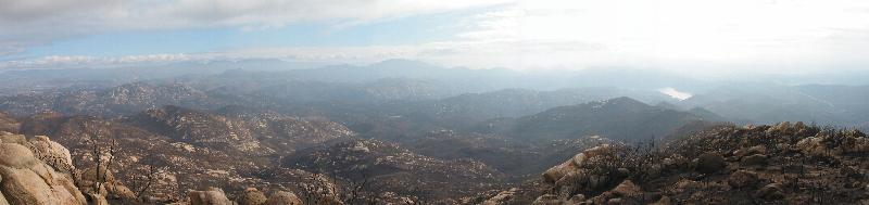 |
| Here is a panoramic view
looking southeast. San Vincente Reservoir is the
body of water just right of center. Virtually everything you can see in
this photo out to the horizon burned (and even more). |
Here is a shot on the way down.
|
 |
Life does begin anew. After only a few weeks
grasses have begun to grow.
|
 |